The global Flood of Noah’s day was responsible for depositing thick, pancake-style packages of sedimentary layers across the continents. They often contain fossils of unusual plants and animals that are sadly no longer living among us today. But on top of these are geologic formations that are more regional or local in extent. Some of these are extraordinary topographic features, like canyons, valleys, and badlands. Others are thick, but localized, sequences of rock layers containing fossils of animals and plants that are more familiar to us. What geologic processes formed these?
One mechanism that young-age geologists think would have been a big player after the Flood was mass wasting. It may have played a major role in why the surface of our world looks the way it does today.
The views expressed in this article reflect those of the authors mentioned, and not necessarily those of New Creation.
What is Mass Wasting?
In geology, mass wasting is a term used to describe the downhill movement of rock and sediment under the influence of gravity. It is a type of erosion, a natural process where particles of rock, sediment, or soil are moved from one place to another. This can happen slowly (like downhill creeping down a low elevation hillside). However, it can also happen rapidly, with great quantities of geologic material moving downhill at alarming speeds!

Landslides, when a mass of earth slides downhill, are one form of mass wasting with which everyone should be familiar. A rockfall happens when individual rocks break off and fall from steep slopes. Meanwhile, debris flows are water-saturated mixtures of debris (usually sediment and rock) that move like fast-flowing concrete over a surface.
The largest landslide documented by humans happened during the 1980 eruption of Mount St. Helens. On May 18, a magnitude 5.1 earthquake turned nearly two square miles of mountain into a massive landslide collapsing downslope at speeds estimated between 69 and 120 mph!1
A World Primed for Erosion
So how exactly could mass wasting play a role in creating a portion of the geologic record after the Flood? The mountain ranges gracing the Earth’s surface today, like the Himalayas, Andes, and Rockies, are often made up of marine rock layers and filled with marine fossils. These marine rocks clearly formed below sea level before being uplifted into the mountain ranges we see today. As such, these mountains could not have existed before the Flood. Their uplift likely began as the floodwaters were receding. They probably continued to grow in the decades and centuries following the Flood as well.
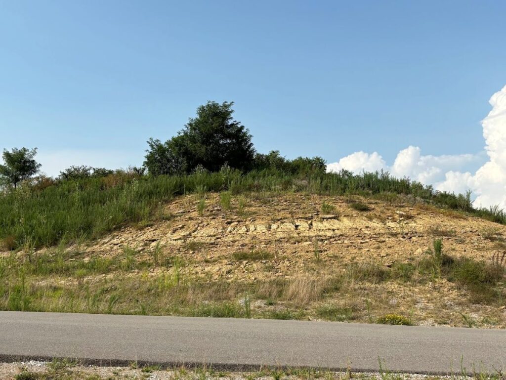
Wet and Soft Sediment
 Sylx100 at wts wikivoyage - Own work, Public Domain, https://commons.wikimedia.org/w/index.php?curid=23004861")
Freshly-uplifted continents and mountains were even more susceptable to mass wasting in the Flood’s aftermath than today.2 This is because many of them were still likely saturated with water from the Flood. Think about what happens to hillsides and mountainsides in the spring when the rains comes. Except, this would have been happening all over the world! It was especially true with sediment layers we think were formed in the later stages of the Flood. They would not have had the necessary time or deep-burial conditions for all the water to be squeezed out, nor for the individual grains of sediment have to cement together and form rock.
In fact, many of these “rock” layers are actually unconsolidated sediment that has not fully hardened or sufficiently compacted into hard rock. Included among these are the coastal plain sedimentary deposits from across Virginia, and down through Florida, and into Texas.3
An Unstable World
But mass wasting was not happening in isolation after the Flood. Other early post-Flood processes we have evidence for include massive earthquakes triggered by those rising mountains, the time it took for plant roots to grow and hold new soils and sediments in place, and huge hurricane-like storms.4 Combining all of these phenomena together, we see that the post-Flood world was a dynamic place for quite some time!
Snapshots of the Early Post-Flood World
When we understand the role mass wasting played in geologic history, we can easily see that virtually no surface on the planet today is unchanged from the end of the Flood to now. Individual mass wasting events would have been operating on a “local” scale. However, because geographic regions were being uplifted all over the world, the end result was a widespread and cumulative effect on the landscape. At this scale, mass wasting and related geologic processes are expected to have occurred at rates and magnitudes rarely, if ever, experienced today.
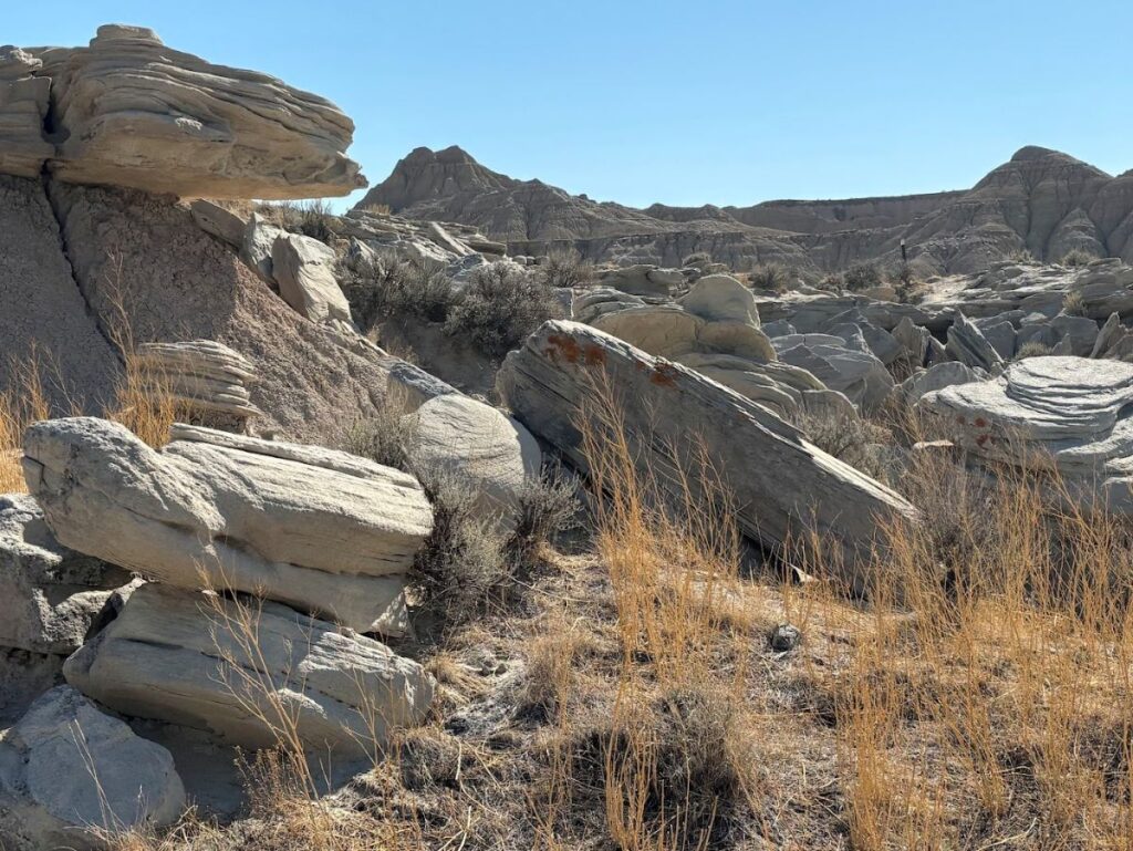
Erosional Remnants

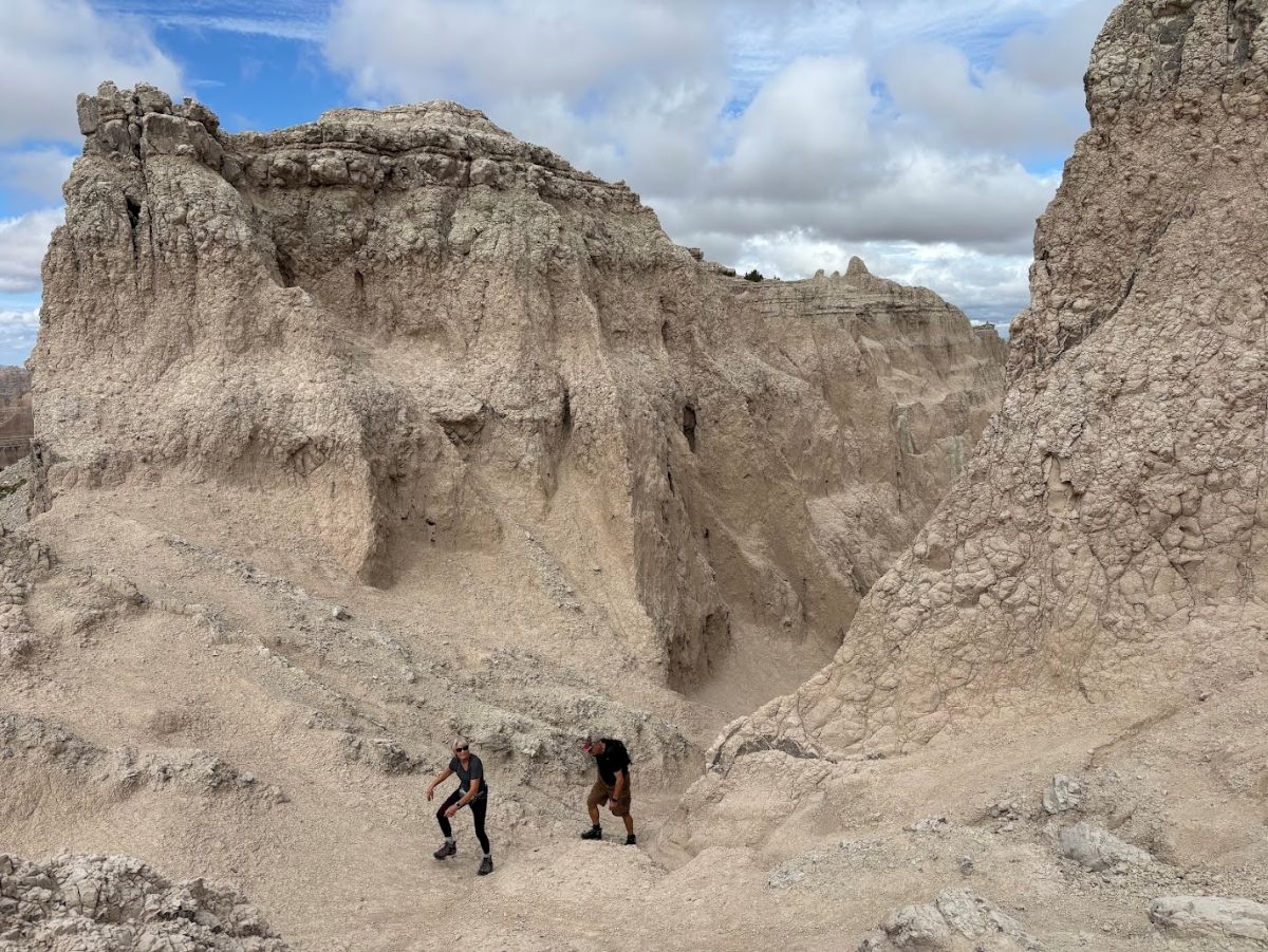
We cannot always determine the exact amount of erosion that occurred to form our modern landscapes. However, we can get some idea by looking at the erosional remnants that were left behind.
Located in eastern Wyoming, Devil’s Tower is an 867-foot tall lacolith. It is a pillar of molten rock that cooled and solidified in the throat of an ancient volcano. Originally buried beneath a substantial thickness of surrounding sedimentary rock, the softer surrounding sediments were eroded, leaving Devil’s Tower exposed.
The badlands in the titular Badlands National Park are another example of erosional remnants. The cliffs, canyons, and other geologic formations exist because the area has experienced significant removal of sedimentary layers. And then, there is the San Rafael Swell. This dome-shaped geologic rise is located in south-central Utah and was exposed by the removal of several thousand feet of overlying sedimentary layers.
Where Did All the Sediment Go?
If thousands of feet of rock and sediment were removed, this missing material must have been transported somewhere else. But where? To a geologist, erosion and deposition are two sides of the same coin. Every ton of sediment removed from a cliffside or a canyon depth must eventually end up somewhere else. The thick accumulations of sediments found in many intermountain basis around the world preserve a record of this enormous transfer of material across the landscape.
What about when intermountain basins were not anywhere nearby? In those cases, sediment would be carried downhill and form vast sheet-like deposits splaying out into the lowlands. We can see examples of this today in the wedge-shaped pile of sediment that accumulated along the flanks of the Rocky Mountains, or the extensive deposits across the Mississippi River Embayment stretching from the Gulf of Mexico to Illinois. Sometimes, the sediment accumulation occurs underwater. The Salton Trough in southern California and northern Mexico contains a pile of sedimentary layers almost 33,000 feet (10,000 meters) deep!
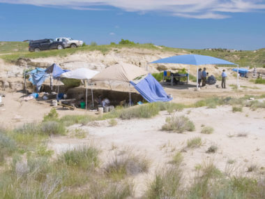
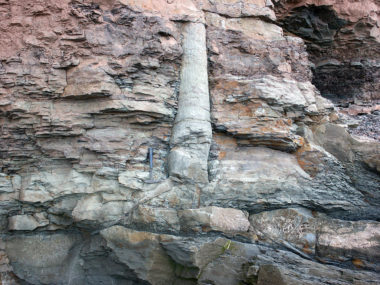
Sedimentary deposits resulting from mass wasting are often excellent at preserving fossils of plants and animals. For this reason, they provide scientists a window into what life was like for these ancient organisms.
Conclusion
Looking around the world today, we see one of relative stability, dominated by slow and gradual natural processes. But a different world is revealed when we stand atop tall erosional remnants in the badlands, hike down steep canyons, or hunt for fossils in surficial sedimentary deposits. We are exploring a world that has been extensively reshaped by the Flood, much thanks to mass wasting and other processes in a turbulant post-Flood world.
Eventually, mass wasting events became fewer and far between as mountain uplift settled. The climate stabalized and natural disasters happened less. Human and animal life could proceed at a calmer, steadier place. Civilizations started cropping up at various places around the world. Our world was finally becoming one we could fill.
Footnotes
- Voight, Barry, Harry Glicken, R. J. Janda, P. M. Douglass, P. W. Lipman, and D. R. Mullineaux. “Catastrophic rockslide avalanche of May 18.” The 1980 eruptions of Mount St. Helens (1981): 347-378. ↩︎
- Whitmore, John H. “The potential for and implications of widespread post-Flood erosion and mass wasting processes.” In Proceedings of the Seventh International Conference on Creationism, vol. 33. 2013. ↩︎
- Renken, Robert A. Hydrogeology of the southeastern coastal plain aquifer system in Mississippi, Alabama, Georgia, and South Carolina. Vol. 1410. US Government Printing Office, 1996. ↩︎
- Whitmore, “Potential for and Implications,” (Footnote 2). ↩︎